Table of Contents
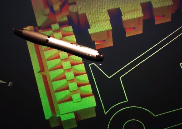
3D Print & Hologram of Annual Irradiation Simulation
Cool stuff done by colleagues at DMU
Bref description of the process supplied by Dr Simon Rees. Hologram created by Prof Martin Richardson. I helped out with steps 4 & 5.
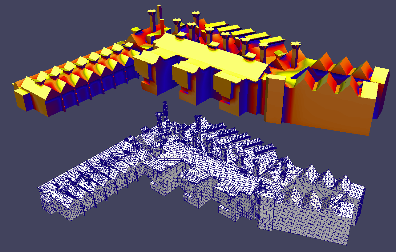
Surface mesh based approach to solar irradiation mapping
In this approach, a surface mesh is constructed around a digital terrain/building model. The mesh is used to define the points on the surface (and the associated normals) at which the Radiance (rtrace) calculation is made. The mesh data is converted into a set of mesh polygons and list of points for Radiance input. The list of irradiances calculated by Radiance is then recombined with the mesh data to become a visualization data set. A 3D interactive visualization tool is used to interact with the model and add false coloring. Output can be 2D images or other 3D data formats that include false colour data.
Steps in the process
- Assemble or import building and terrain model
- Subdivide or wrap a mesh around the model
- Convert model to Radiance polygons and list of calculation points
- Assemble cumulative sun/sky model from annual climate data set
- Perform Radiance calculation
- Recombine mesh and irradiance data
- Import to visualization tool
- Add false color scale and interact
- Visualization record or output format of choice
Open-source software: Blender, OpenFoam, Radiance, Paraview, Python.
Data visualisations
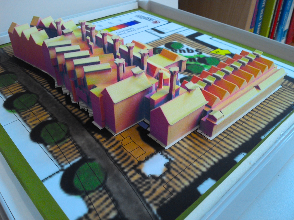
3D print
Photo of 3D print - the image colour saturation was boosted to make up for the slightly washed-out printer ink.